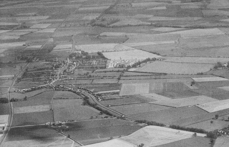
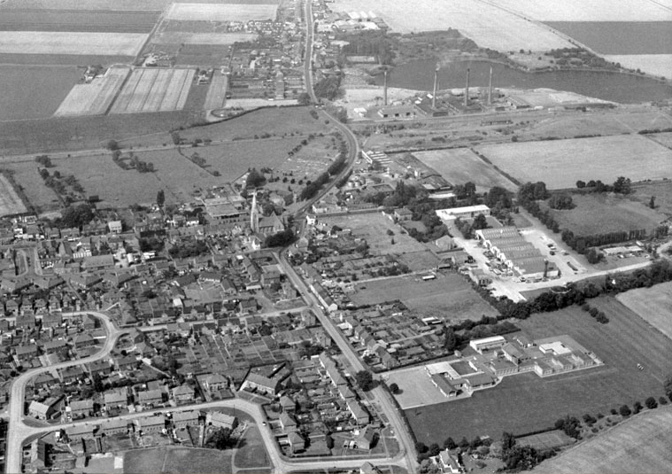
You can see the long lost Eastwood Farm is at the bottom of this shot. You can also make out the triangle shaped field that became the football field to middle right and even at this time you could still see the medieval plot layout the north of the high streetIn this photo you can see the Dogsthorpe grain store to the bottom left. At this time they were still working the north pit at Dogsthorpe. If the railway line hadn’t been there it would probably have been one big pit by the time the brickyards closed.
1981
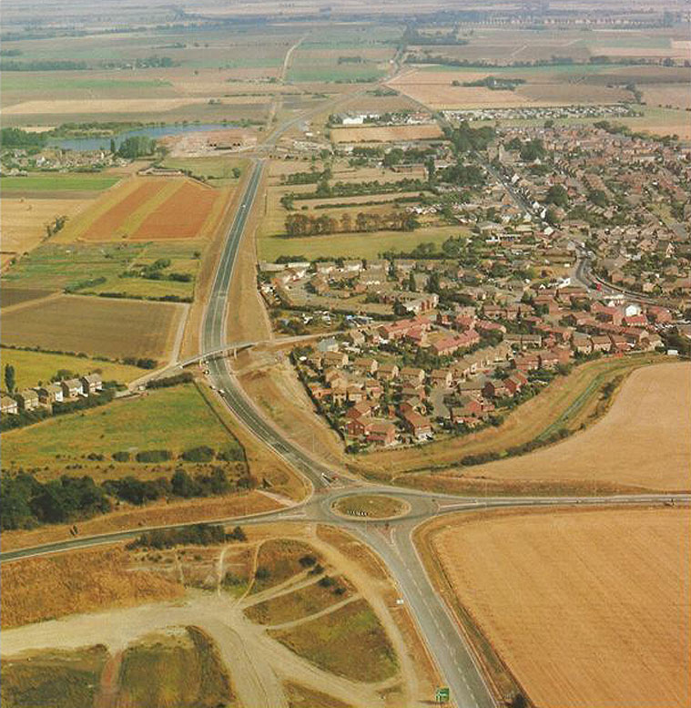
1991
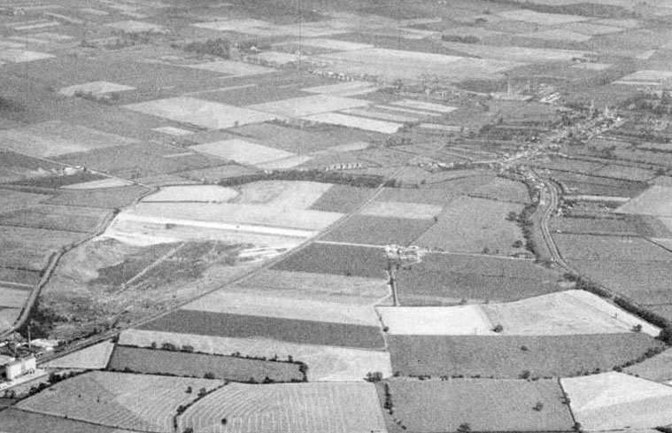
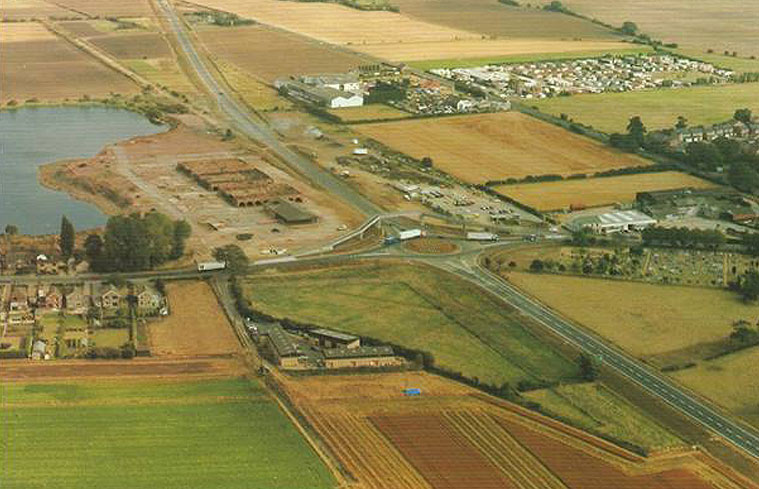
In this east looking photo you can see Hodney Road and Chancery Lane to the right.The remains of Northam Brick Works are in the centre of this picture and just below is the undeveloped field that contains McDonald’s, The Little Chef and Esso Station.